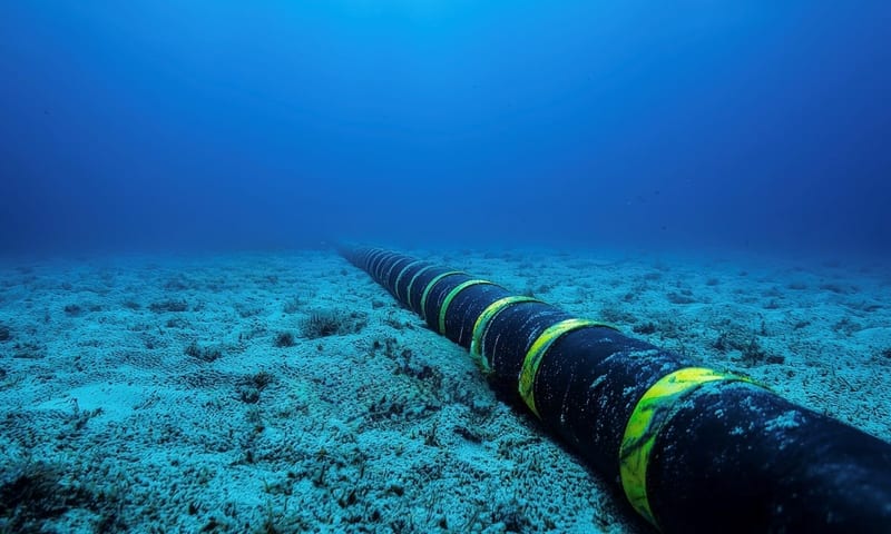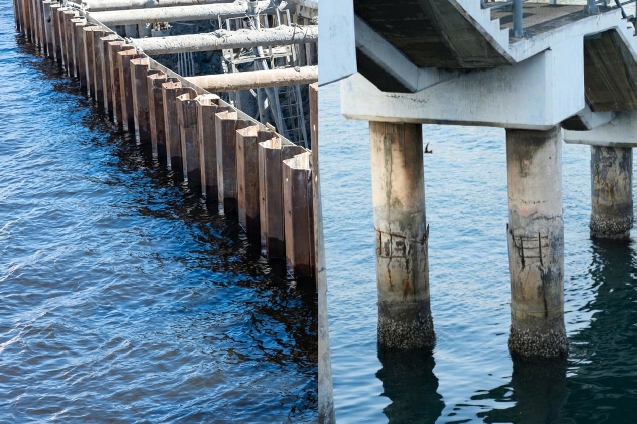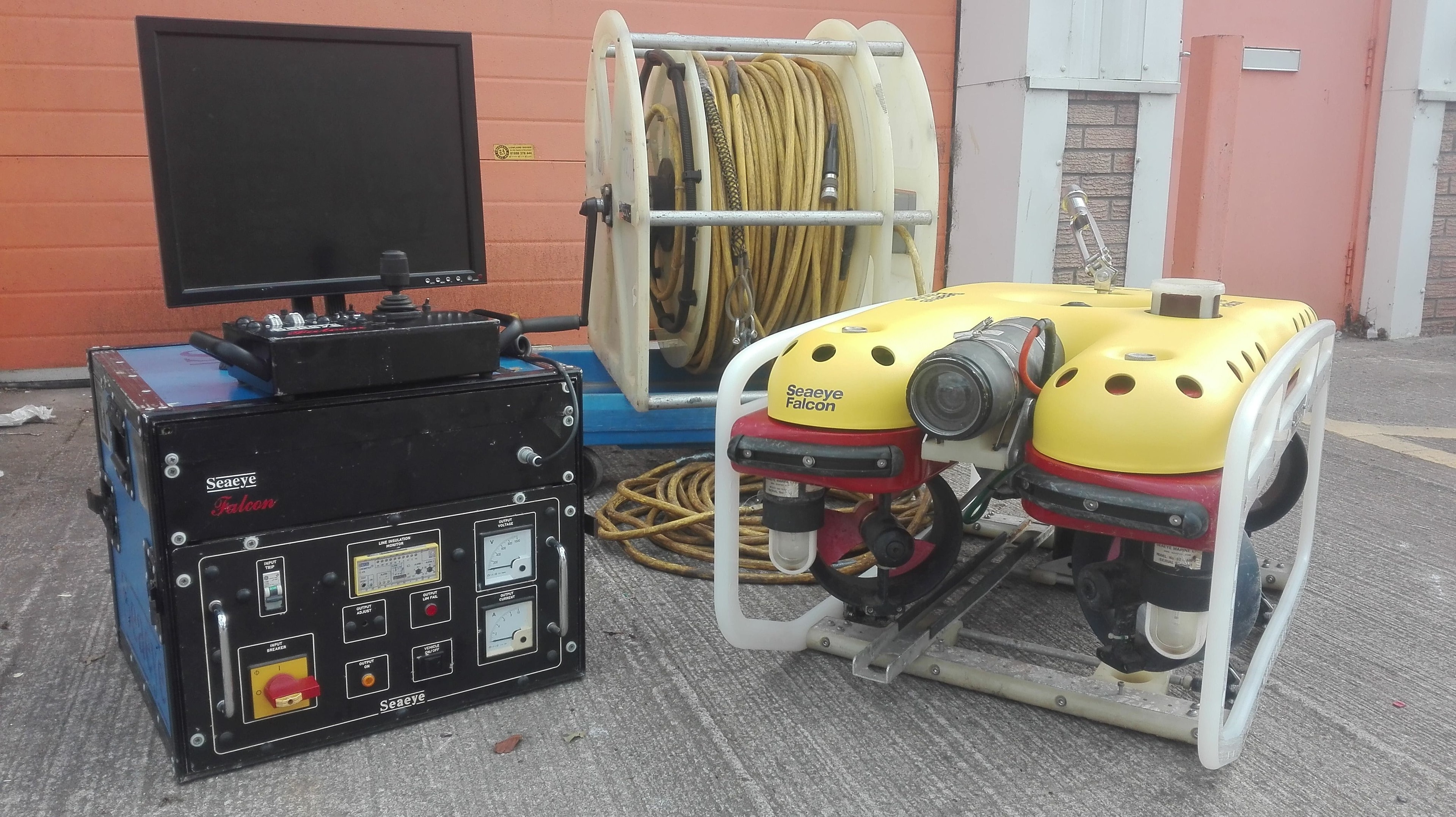

Scour is the progressive removal of seabed sediment from around a foundation caused by wave and current action. For offshore wind monopiles, scour can expose the pile below the design embedment depth, reducing lateral load capacity and increasing the risk of fatigue damage at the mudline. Left undetected, severe scour can compromise the structural integrity of the turbine and trigger costly emergency intervention.
How ROV Multibeam Sonar Detects Scour
ROV-mounted multibeam echo sounders (MBES) generate high-resolution bathymetric maps of the seabed around each foundation. By comparing successive surveys against the as-built baseline, engineers can quantify scour depth, scour hole diameter, and the rate of progression. Modern MBES systems mounted on observation-class ROVs achieve point densities sufficient to detect scour development of 100 mm or less between survey intervals.
Scour Protection Assessment
Most offshore wind foundations are protected by rock armour or concrete mattresses placed around the pile toe at installation. ROV visual inspection and sonar mapping assess the condition and extent of the scour protection layer — identifying areas of displacement, settlement, or loss that may require remediation. The inspection report includes a plan-view map of the protection layer with areas of concern highlighted and compared to the installation survey.
Underwater 3D Scanning for Scour Protection Assessment
Underwater 3D scanning has become an increasingly valuable tool for scour protection assessment, providing a level of geometric detail that sonar mapping alone cannot achieve. ROV-deployed structured-light and laser-line scanning systems generate dense point clouds of the rock armour and mattress surface, capturing individual stone positions, void spaces, and surface topology at millimetre-level resolution. This allows engineers to calculate the precise volume of protection material remaining and to identify localised areas of loss or settlement that would be missed by a conventional sonar sweep.
The 3D scan data is registered to the foundation coordinate system and compared against the as-installed survey model. Volumetric change analysis between successive scans quantifies the rate of material loss and identifies whether displacement is progressing toward the pile toe — the critical zone where loss of protection directly increases scour exposure. Where the scan reveals voids beneath the mattress surface or inter-stone gaps exceeding the design specification, targeted remediation can be planned with confidence rather than relying on conservative assumptions about the protection layer's condition.
3D scan deliverables for scour protection assessment typically include a georeferenced point cloud, a colour-mapped surface deviation model showing change from the baseline, and a volumetric report with remaining material estimates by zone. These outputs integrate directly with the operator's structural integrity management system and provide the quantitative evidence base required by classification societies when assessing whether the protection layer meets the design standard.
Risk-Based Inspection Intervals
Not all foundations in a wind farm scour at the same rate. Foundations in areas of high tidal current, exposed to storm wave action, or installed in mobile sediment environments require more frequent monitoring than those in sheltered locations with cohesive seabed soils. A risk-based inspection plan — informed by the initial scour survey results and the site's metocean data — allows operators to concentrate survey resources on the highest-risk foundations and extend intervals for lower-risk assets, reducing overall inspection costs without compromising safety.